

ABOUT GROUNDMARK
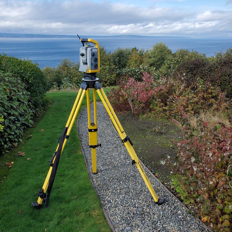
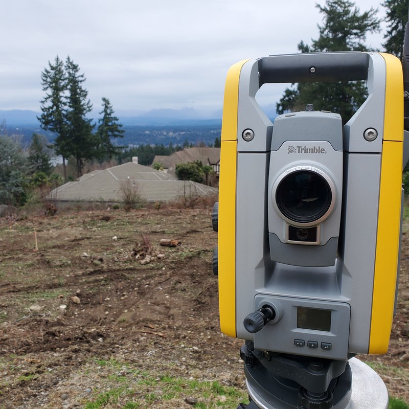
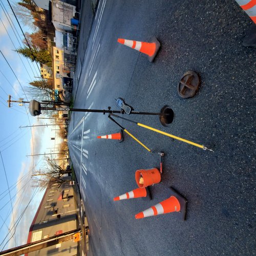
Thank you for your interest in GroundMark Land Surveying, PLLC. We provide land surveying services in Seattle and throughout the greater Puget Sound area. Please keep reading to learn more about us and our services. When it has to be right trust GroundMark Land Surveying to make the most complete map of your property. We will work with you for any special requests, making sure that we get all of the details needed for your design of project. Contact us for a quote or if you have any questions. We look forward to hearing from you!
ABOUT SEAN ROULETTE-MILLER, PLS
Sean is the owner of GroundMark and a Professional Land Surveyor. He has been surveying in the Seattle area for over 15 years, licensed since 2014. During that time he has worked on every aspect of surveying, from construction staking and boundary surveys in the field, to stamping and signing final drawings for recording. If you contract with GroundMark Land Surveying for your survey needs you will have Sean involved with every step of the process. GroundMark can offer personalized service because he knows what the client needs out of their survey and can answer any questions that come up.
OUR SERVICES
At GroundMark, we offer different kinds of surveys depending on the client's needs. Listed below are some of the types of surveys we offer. Don't see what you need? Have a question on these services? Please contact us.
BOUNDARY SURVEY
A boundary survey locates the boundary lines of your property. Having your property lines staked on the ground is in the name GroundMark. It is when the precise calculations done in CAD are transferred to the real world with a physical marker. GroundMark Land Surveying will identify and disclose any issues that are found in the field, protecting your property for the future.
TOPOGRAPHIC SURVEYING
Topograhic surveys depict elevations of surfaces and property features. As such, these provide more in-depth information than a boundary survey. This type of survey is often needed when building or can be required for various permits. We have the expertise with this type of survey to assist your architect, engineer, or other professional involved with your project.
CONSTRUCTION STAKING
Time is money when doing construction. Different trades all need to coordinate to keep the project moving. GroundMark Land Surveying keeps room in the schedule to tackle any last minute needs that come up.
ALTA/NSPS LAND TITLE SURVEY
An ALTA/NSPS survey may be required for the purpose of obtaining title insurance. Often conducted with a tight timeline, GroundMark Land Surveying will help with every step of the process to make sure that the ALTA/NSPS Survey is completed before the closing date.
LAND USE (SHORT PLAT, ULS, BLA)
It takes great care and attention to detail to prepare a Land Use Survey. Every part of the survey must be done correctly so that the permit can be processed without additional delays. GroundMark Land Surveying has the experience of doing thousands of Land Use Surveys and we know how to keep them moving through the process.
FEMA ELEVATION CERTIFICATE
Land Surveyors are generally required to complete a FEMA Elevation Certificate to insure property for Flood Damage. GroundMark Land Surveying has over ten years of experience helping clients with property in the Flood Zone.
WEB MAPPING
Have an idea for a mobile mapping project? We can help visualize your data using Leaflet web mapping.
GET IN TOUCH
[email protected]
(206) 580-3801
